File:3318 Mérignac-1 canton map.svg

Size of this PNG preview of this SVG file: 486 × 600 pixels. Other resolutions: 194 × 240 pixels | 389 × 480 pixels | 622 × 768 pixels | 830 × 1,024 pixels | 1,660 × 2,048 pixels | 1,479 × 1,825 pixels.
Original file (SVG file, nominally 1,479 × 1,825 pixels, file size: 231 KB)
Captions
Captions
Add a one-line explanation of what this file represents
Summary edit
| Description |
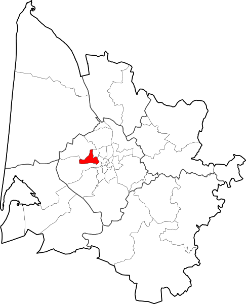
Français : Situation dans le département de la Gironde du canton
de Mérignac-1. |
| Date | |
| Source | data.gouv.fr(données GEOFLA du 1er juillet 2015) |
| Author | Flappiefh |
Licensing edit
I, the copyright holder of this work, hereby publish it under the following license:
This file is licensed under the Creative Commons Attribution-Share Alike 4.0 International license.
- You are free:
- to share – to copy, distribute and transmit the work
- to remix – to adapt the work
- Under the following conditions:
- attribution – You must give appropriate credit, provide a link to the license, and indicate if changes were made. You may do so in any reasonable manner, but not in any way that suggests the licensor endorses you or your use.
- share alike – If you remix, transform, or build upon the material, you must distribute your contributions under the same or compatible license as the original.
File history
Click on a date/time to view the file as it appeared at that time.
| Date/Time | Thumbnail | Dimensions | User | Comment | |
|---|---|---|---|---|---|
| current | 17:13, 9 August 2015 | | 1,479 × 1,825 (231 KB) | Flappiefh (talk | contribs) | Electoral cantons instead of INSEE cantons + Bordeaux cantons added. |
| 09:51, 9 August 2015 |  | 1,479 × 1,825 (227 KB) | Flappiefh (talk | contribs) |
You cannot overwrite this file.
File usage on Commons
The following page uses this file:
File usage on other wikis
The following other wikis use this file:
- Usage on ca.wikipedia.org
- Usage on ce.wikipedia.org
- Usage on eu.wikipedia.org
- Usage on fr.wikipedia.org
- Usage on hu.wikipedia.org
- Usage on nl.wikipedia.org
- Usage on oc.wikipedia.org
- Usage on ro.wikipedia.org
- Usage on www.wikidata.org