File:36-Indre-carte-R1.jpg
No higher resolution available.
36-Indre-carte-R1.jpg (471 × 473 pixels, file size: 113 KB, MIME type: image/jpeg)
Captions
Captions
Add a one-line explanation of what this file represents
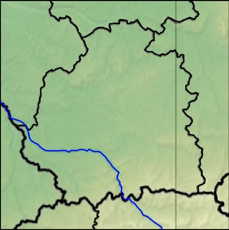
- Carte 36 Indre Relief
- fr:Géolocalisation/Indre
- source:Travail personnel
The map has been created with the Generic Mapping Tools: https://www.generic-mapping-tools.org/ using one or more of these public-domain datasets for the relief:
|

|
Permission is granted to copy, distribute and/or modify this document under the terms of the GNU Free Documentation License, Version 1.2 or any later version published by the Free Software Foundation; with no Invariant Sections, no Front-Cover Texts, and no Back-Cover Texts. A copy of the license is included in the section entitled GNU Free Documentation License. |
- projection équirectangulaire
- top:47.375°
- bottom:46.25°
- right:2.375°
- left:0.75°


File history
Click on a date/time to view the file as it appeared at that time.
| Date/Time | Thumbnail | Dimensions | User | Comment | |
|---|---|---|---|---|---|
| current | 10:57, 17 January 2013 | | 471 × 473 (113 KB) | Wikisoft* (talk | contribs) | *Carte 36 Indre Relief *fr:Géolocalisation/Indre *source:Travail personnel {{Atelier graphique carte}} *Auteur:~~~~ *licence:{{GFDL-GMT}} *Category:Maps of Indre *Category:France *projection équirectangulaire *top:47.375° *bottom:46... |
You cannot overwrite this file.
File usage on Commons
The following 2 pages use this file:
File usage on other wikis
The following other wikis use this file:
- Usage on ru.wikipedia.org