File:La2-demis-caribbean gs.png
Jump to navigation
Jump to search
Size of this preview: 800 × 504 pixels. Other resolutions: 320 × 201 pixels | 640 × 403 pixels | 891 × 561 pixels.
Original file (891 × 561 pixels, file size: 68 KB, MIME type: image/png)
Captions
Captions
Add a one-line explanation of what this file represents
| Description |
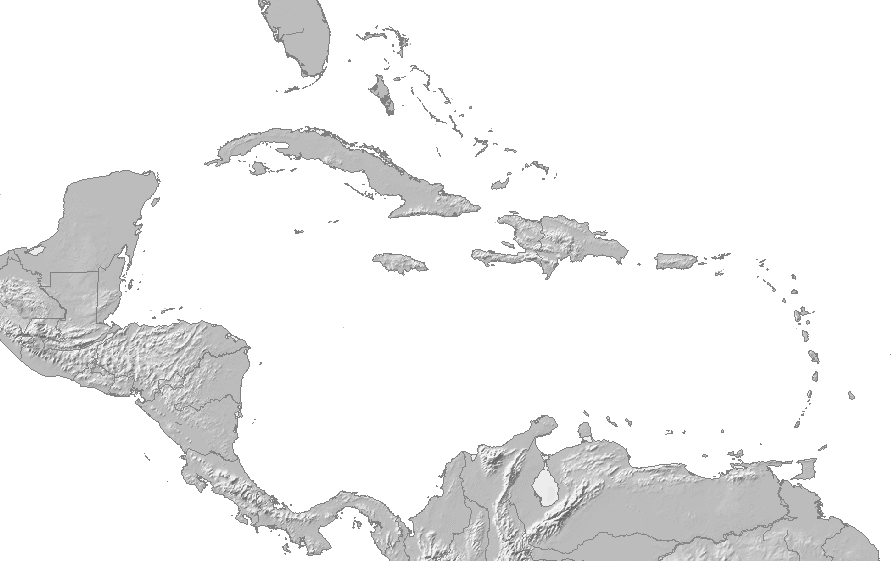
English: Map of the Caribbean and Central America. Bounding box West -93°, South 7°, East -58°, North 28°. Center at 17°30′00″N 75°30′00″W / 17.50000°N 75.50000°W. |
| Date | |
| Source | |
| Author |
|
| This is a retouched picture, which means that it has been digitally altered from its original version. Modifications: changed to grayscale. The original can be viewed here: La2-demis-caribbean.png:
|
This image is in the public domain because it came from the site https://www.demis.nl/products/web-map-server/examples/ and was released by the copyright holder. Permission is granted to copy, distribute and/or modify this map since it is based on free of copyright images from: www.demis.nl. See also approval email on de.wp and its clarification.
|
| This work has been released into the public domain by its copyright holder, www.demis.nl. This applies worldwide. In some countries this may not be legally possible; if so: www.demis.nl grants anyone the right to use this work for any purpose, without any conditions, unless such conditions are required by law.
|
| I, the copyright holder of this work, release this work into the public domain. This applies worldwide. In some countries this may not be legally possible; if so: I grant anyone the right to use this work for any purpose, without any conditions, unless such conditions are required by law. |
Original upload log[edit]
This image is a derivative work of the following images:
- File:La2-demis-caribbean.png licensed with PD-Demis
- 2005-09-02T13:20:12Z LA2 891x561 (173940 Bytes) Map of the Carribean and Central America. Bounding box West -93°, South 7°, East -58°, North 28°. {{demis-pd}} [[category:maps of America]]
Uploaded with derivativeFX
File history
Click on a date/time to view the file as it appeared at that time.
| Date/Time | Thumbnail | Dimensions | User | Comment | |
|---|---|---|---|---|---|
| current | 21:32, 30 November 2010 | | 891 × 561 (68 KB) | EH101 (talk | contribs) | {{Information |Description={{en|Map of the Carribean and Central America. Bounding box West -93°, South 7°, East -58°, North 28°. Center at {{coor d|17.50000|N|75.50000|W|scale:12600000}}.}} |Date=2005-09-02 |Source=*[[:File:La2-demis-caribbean.png|] |
You cannot overwrite this file.
File usage on Commons
There are no pages that use this file.
File usage on other wikis
The following other wikis use this file:
- Usage on it.wikipedia.org
- Aeroporto di San Juan-Isla Verde
- Aeroporto di Aguadilla-Borinquen
- Aeroporto di Bridgetown - Grantley Adams
- Aeroporto Internazionale di Piarco
- Aeroporto Internazionale Owen Roberts
- Aeroporto Internazionale di Hato
- Aeroporto Internazionale di Providenciales
- Aeroporto Internazionale Hewanorra
- Aeroporto Internazionale Robert L. Bradshaw
- Aeroporto di The Valley-Wallblake
- Squadra portoricana di Fed Cup
- Template:Mappa di localizzazione/America centrale
- Squadra peruviana di Fed Cup
- Squadra bahamense di Fed Cup
- Squadra guatemalteca di Fed Cup
- Squadra uruguaiana di Fed Cup
- Squadra ecuadoriana di Fed Cup
- Squadra dominicana di Fed Cup
- Squadra costaricana di Fed Cup
- Squadra trinidadiana di Fed Cup
- Squadra panamense di Fed Cup
- Squadra honduregna di Fed Cup
- Squadra barbadiana di Fed Cup
- Aeroporto di Saint Jean Gustaf III
- Aeroporto di Union Island
- Template:Fed Cup Americhe 2
- Volo Tan-Sahsa 414