File:Libya location map.svg
Jump to navigation
Jump to search

Size of this PNG preview of this SVG file: 625 × 599 pixels. Other resolutions: 250 × 240 pixels | 501 × 480 pixels | 801 × 768 pixels | 1,068 × 1,024 pixels | 2,136 × 2,048 pixels | 969 × 929 pixels.
Original file (SVG file, nominally 969 × 929 pixels, file size: 90 KB)
Captions
Captions
Add a one-line explanation of what this file represents
Summary[edit]
| Description |
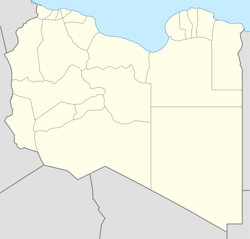
Deutsch: Positionskarte von Libyen
Quadratische Plattkarte, N-S-Streckung 110 %. Geographische Begrenzung der Karte:
English: Location map of Libya
Equirectangular projection, N/S stretching 110 %. Geographic limits of the map:
|
||
| Date | |||
| Source |
Own work (Original text: own work, using)
|
||
| Author | NordNordWest | ||
| Other versions |
Derivative works of this file:
|
||
| SVG development | This map was created with Adobe Illustrator.
|


Licensing[edit]
NordNordWest, the copyright holder of this work, hereby publishes it under the following licenses:

|
Permission is granted to copy, distribute and/or modify this document under the terms of the GNU Free Documentation License, Version 1.2 or any later version published by the Free Software Foundation; with no Invariant Sections, no Front-Cover Texts, and no Back-Cover Texts. A copy of the license is included in the section entitled GNU Free Documentation License. |
This file is licensed under the Creative Commons Attribution 3.0 Unported license.
Attribution: NordNordWest
- You are free:
- to share – to copy, distribute and transmit the work
- to remix – to adapt the work
- Under the following conditions:
- attribution – You must give appropriate credit, provide a link to the license, and indicate if changes were made. You may do so in any reasonable manner, but not in any way that suggests the licensor endorses you or your use.
You may select the license of your choice.
File history
Click on a date/time to view the file as it appeared at that time.
| Date/Time | Thumbnail | Dimensions | User | Comment | |
|---|---|---|---|---|---|
| current | 15:59, 15 April 2011 | | 969 × 929 (90 KB) | NordNordWest (talk | contribs) | upd |
| 19:15, 18 May 2009 |  | 970 × 931 (150 KB) | NordNordWest (talk | contribs) | finalized | |
| 16:19, 18 May 2009 |  | 969 × 930 (127 KB) | NordNordWest (talk | contribs) | {{Information |Description= {{de|Positionskarte von Libyen, Vorversion}} Quadratische Plattkarte, N-S-Streckung 110 %. Geographische Begrenzung der Karte: * N: 33.4° N * S: 19.1° N * W: 9.1° O * O: 25.5° O {{en|Location map of [[:en:Lib |
You cannot overwrite this file.
File usage on Commons
The following 31 pages use this file:
- User:NordNordWest/Gallery/Location maps
- File:Al Wahat in Libya.svg
- File:Benghazi in Libya.svg
- File:Butnan in Libya.svg
- File:Central Libya Offensive (2020).svg
- File:Derna in Libya.svg
- File:Ghat in Libya.svg
- File:Jabal al Akhdar in Libya.svg
- File:Jabal al Gharbi in Libya.svg
- File:Jafara in Libya.svg
- File:Jufra in Libya.svg
- File:Kufra in Libya.svg
- File:Libya Map Covi-19.svg
- File:Libya relief location map.jpg
- File:Map of traditionnal provinces of Libye Macedonian.svg
- File:Map of traditionnal provinces of Libye fr.svg
- File:Marj in Libya.svg
- File:Misrata in Libya.svg
- File:Murqub in Libya.svg
- File:Murzuq in Libya.svg
- File:Nalut in Libya.svg
- File:Nuqat al Khams in Libya.svg
- File:Sabha in Libya.svg
- File:Sirte in Libya.svg
- File:Southern Libya Offensive (2019).svg
- File:Tripoli in Libya.svg
- File:Wadi al Hayaa in Libya.svg
- File:Wadi al Shatii in Libya.svg
- File:Western Libya (March 1 2011).png
- File:Western Libya Operation (2019).png
- File:Zawiya in Libya.svg
.svg)
.svg)
.png)
.png)
File usage on other wikis
The following other wikis use this file:
- Usage on af.wikipedia.org
- Usage on am.wikipedia.org
- Usage on an.wikipedia.org
- Usage on ar.wikipedia.org
- كأس الأمم الإفريقية 1982
- واو الناموس
- قالب:خريطة مواقع ليبيا
- مطار بني وليد
- مطار رأس لانوف
- قاعدة الجفرة الجوية
- مطار هون
- مطار مرتوبة
- تفجير زليتن 2016
- تفجيرات الخمس 2015
- مطار تمنهنت الدولي
- مطار براك
- تفجير مسجد بيعة الرضوان 2018
- سبخة غزيل
- هجوم المفوضية الوطنية العليا للانتخابات 2018
- قالب:خريطة مفصلة للحرب الأهلية الليبية
- الغارة الجوية على مرزق 2019
- جبل هروج
- أم الأحرار
- جديد (ليبيا)
- الحجارة (ليبيا)
- Usage on ar.wikinews.org
- Usage on arz.wikipedia.org
- Usage on ast.wikipedia.org
View more global usage of this file.