Bondurant (/ˈbɒndʊəˌrænt/)[4] is a city in Polk County, Iowa, United States. The population was 7,365 in the 2020 census, an increase of 90.8% from the 3,860 population in 2010.[5][6][7] It is part of the Des Moines–West Des Moines metropolitan statistical area.
Bondurant, Iowa | |
|---|---|
| Motto: "on the move"[1] | |
 Location within Polk County and Iowa | |
| Coordinates: 41°41′55″N 93°27′24″W / 41.69861°N 93.45667°W | |
| Country | |
| State | |
| County | Polk |
| Government | |
| • Mayor | Doug Elrod |
| Area | |
| • Total | 9.07 sq mi (23.50 km2) |
| • Land | 9.04 sq mi (23.43 km2) |
| • Water | 0.03 sq mi (0.07 km2) |
| Elevation | 958 ft (292 m) |
| Population (2020) | |
| • Total | 7,365 |
| • Estimate (2022) | 8,710 |
| • Density | 814.26/sq mi (314.38/km2) |
| Time zone | UTC-6 (Central (CST)) |
| • Summer (DST) | UTC-5 (CDT) |
| ZIP code | 50035 |
| Area code | 515 |
| FIPS code | 19-07390 |
| GNIS feature ID | 2394218[3] |
| Website | The City of Bondurant, Iowa Website |
History edit
Bondurant was founded in 1884. In 1892, the Chicago Great Western Railway built the Bondurant railway station.[8] Bondurant incorporated as a city on December 23, 1897. The city was named for Alexander C. Bondurant, who was the area's first settler in 1857.[9]
2018 tornado edit
On July 19, 2018, at approximately 3 p.m., an EF2 tornado struck the city and lifted the entire second floor off a house, save for the second-floor bathroom's toilet.[10][11] The tornado was the second of two EF2 tornadoes that were on the ground simultaneously. The first tornado, which missed Bondurant, provided a clear warning as the second tornado formed shortly afterwards.[11]
Geography edit
According to the United States Census Bureau, the city has a total area of 8.40 square miles (21.76 km2), of which 8.38 square miles (21.70 km2) is land and 0.02 square miles (0.05 km2) is water.[12]
Bondurant is located in the heartland of Iowa, and can be directly accessed by U.S. Route 65 (from the northeast or southwest) or NE 78th Ave (from the west).
Demographics edit
| Census | Pop. | Note | %± |
|---|---|---|---|
| 1900 | 297 | — | |
| 1910 | 287 | −3.4% | |
| 1920 | 274 | −4.5% | |
| 1930 | 289 | 5.5% | |
| 1940 | 320 | 10.7% | |
| 1950 | 328 | 2.5% | |
| 1960 | 389 | 18.6% | |
| 1970 | 462 | 18.8% | |
| 1980 | 1,283 | 177.7% | |
| 1990 | 1,584 | 23.5% | |
| 2000 | 1,846 | 16.5% | |
| 2010 | 3,860 | 109.1% | |
| 2020 | 7,365 | 90.8% | |
| U.S. Decennial Census[13][5] | |||

2010 census edit
The 2010 census recorded a population of 3,860 in the city, with a population density of 804/sq mi (310/km2). There were 1,422 housing units, of which 1,362 were occupied.[6]
Of the 1,362 households 1,021 (75%) were families, with 641 families having children under the age of 18. The age population was spread out, with 1279 (33.1%) under the age of 18, 2339 (60.6%) from 18 to 65, and 242 (6.3%) who were 65 or older. The median age was 29.7 years with the male population being 1,931 (50%) and the female population 1,929 (50%).[14]
The racial makeup of the city in the 2010 census was 96.5% White American, 0.6% African American, 0.1% Native Americans in the United States, 0.8% Asian American, 0.0% Native Hawaiians or Pacific Islander American, 0.4% other races and 1.6% were from two or more races. Of those 1.7% were Hispanic and Latino Americans.[15]
2000 census edit
At the 2000 census there were 1,846 people in 659 households, including 508 families, in the city. The population density was 385.9 inhabitants per square mile (149.0/km2). There were 682 housing units at an average density of 142.6 per square mile (55.1/km2). The racial makeup of the city was 98.43% White, 0.22% Native American, 0.16% Asian, 0.33% from other races, and 0.87% from two or more races. Hispanic or Latino of any race were 0.87%.[16]
Of the 659 households, 46.9% had children under the age of 18 living with them, 61.9% were married couples living together, 12.1% had a female householder with no husband present, and 22.9% were non-families. 19.9% of households were one person, and 6.5% were one person aged 65 or older. The average household size was 2.80 and the average family size was 3.24.
The age distribution was 33.1% under the age of 18, 6.4% from 18 to 24, 34.9% from 25 to 44, 19.2% from 45 to 64, and 6.3% 65 or older. The median age was 32 years. For every 100 females, there were 98.1 males. For every 100 females age 18 and over, there were 91.5 males
The median household income was $52,877, and the median family income was $56,989. Males had a median income of $35,000 versus $26,309 for females. The per capita income for the city was $19,196. About 3.1% of families and 5.7% of the population were below the poverty line, including 6.3% of those under age 18 and 7.7% of those age 65 or over.
Education edit
The Bondurant–Farrar Community School District operates local area public schools.[17]
Transportation edit
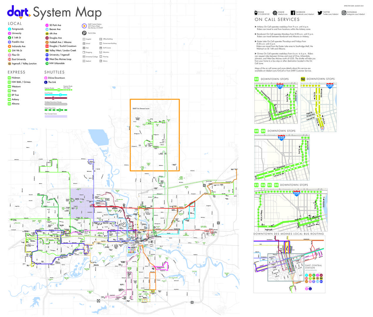
Transit in the city is provided by Des Moines Area Regional Transit. Route 17 provides bus service connecting the city to the region.[18]
References edit
- ^ "The City of Bondurant, Iowa". The City of Bondurant, Iowa. Retrieved September 2, 2012.
- ^ "2020 U.S. Gazetteer Files". United States Census Bureau. Retrieved March 16, 2022.
- ^ a b U.S. Geological Survey Geographic Names Information System: Bondurant, Iowa
- ^ Sherman, Barney (September 14, 2017). "Iowa Place Names: A-E". Iowa Public Radio. Retrieved June 9, 2021.
- ^ a b "2020 Census State Redistricting Data". census.gov. United states Census Bureau. Retrieved August 12, 2021.
- ^ a b "Population & Housing Occupancy Status 2010" (PDF). United States Census Bureau American FactFinder. Retrieved August 15, 2022.
- ^ "Data from the 2010 Census". State Data Center of Iowa. Archived from the original on July 18, 2011. Retrieved July 23, 2011.
- ^ https://archive.org/stream/pioneersofpolkco02andr#page/14/ Pioneers of Polk County IA
- ^ Henning, Barbara Beving Long; Beam, Patrice K. (2003). Des Moines and Polk County: Flag on the Prairie. Sun Valley, California: American Historical Press. ISBN 1-892724-34-0.
- ^ "Storm causes severe damage to homes in Bondurant". July 20, 2018.
- ^ a b "Weather.Gov Report 7/19/18 Tornadoes".
- ^ "US Gazetteer files 2010". United States Census Bureau. Archived from the original on January 25, 2012. Retrieved May 11, 2012.
- ^ "Census of Population and Housing". Census.gov. Retrieved June 4, 2015.
- ^ "U.S. Census website". United States Census Bureau. Retrieved July 23, 2011.
- ^ "Race and Hispanic or Latino Origin in Iowa's Incorporated Places: 2010" (PDF). State Data Center of Iowa. Archived from the original (PDF) on March 20, 2012. Retrieved July 23, 2011.
- ^ "U.S. Census website". United States Census Bureau. Retrieved January 31, 2008.
- ^ "FY20 BONDURANT-FARRAR" (PDF). Iowa Department of Education. Retrieved July 30, 2020.
- ^ "DART System Map". Retrieved August 28, 2023.
External links edit
- The City of Bondurant, Iowa Website Portal style website, Government, Business, Library, Recreation and more
- Bondurant Chamber of Commerce
- Bondurant Community Library