Size of this preview: 800 × 576 pixels. Other resolutions: 320 × 230 pixels | 640 × 461 pixels | 1,024 × 737 pixels | 1,280 × 921 pixels | 2,560 × 1,843 pixels | 7,280 × 5,240 pixels.
Original file (7,280 × 5,240 pixels, file size: 23.94 MB, MIME type: image/jpeg)
| This is a file from the Wikimedia Commons. Information from its description page there is shown below. Commons is a freely licensed media file repository. You can help. |
Summary
|
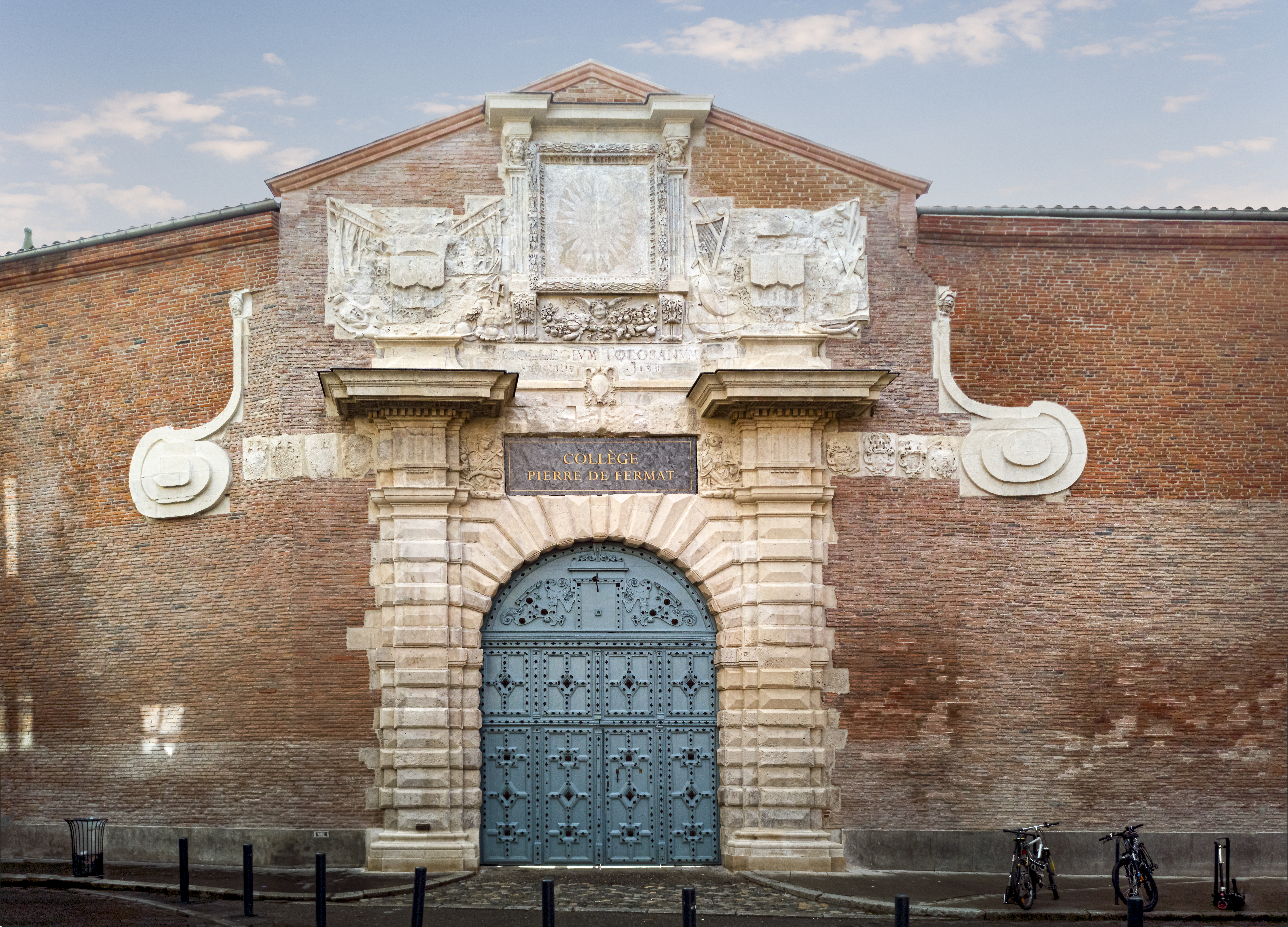
Entrance of Pierre de Fermat College in Joseph-Lakanal's Street, Toulouse | ||||||||||||||||||||||||||||||||||||
|
| ||||||||||||||||||||||||||||||||||||

_-_53Fi4416.jpg)
.jpg)
_plaques.jpg)


File history
Click on a date/time to view the file as it appeared at that time.
| Date/Time | Thumbnail | Dimensions | User | Comment | |
|---|---|---|---|---|---|
| current | 17:09, 12 November 2019 | | 7,280 × 5,240 (23.94 MB) | Archaeodontosaurus | {{Information |Description= |Source={{own}} |Date= |Author= Archaeodontosaurus |Permission= |other_versions= }} |
File usage
The following pages on the English Wikipedia use this file (pages on other projects are not listed):
Global file usage
The following other wikis use this file:
- Usage on de.wikipedia.org
- Usage on es.wikipedia.org
- Usage on fr.wikipedia.org
- Usage on oc.wikipedia.org