
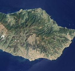
Size of this preview: 629 × 599 pixels. Other resolutions: 252 × 240 pixels | 504 × 480 pixels | 806 × 768 pixels | 1,075 × 1,024 pixels | 2,150 × 2,048 pixels | 3,147 × 2,998 pixels.
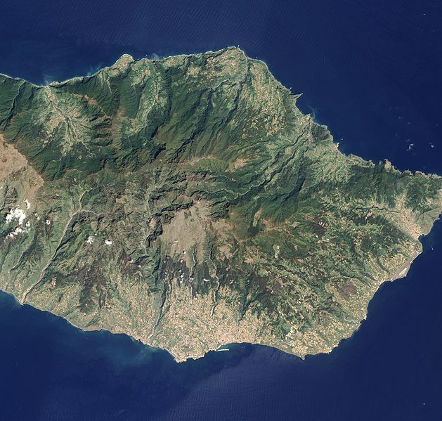
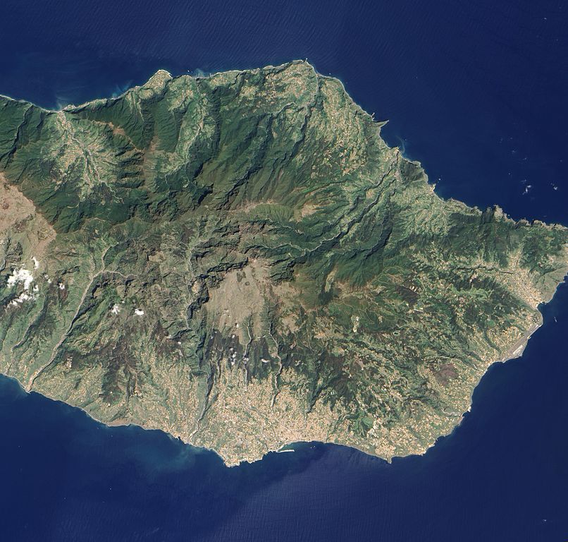
Original file (3,147 × 2,998 pixels, file size: 2.09 MB, MIME type: image/jpeg)
| This is a file from the Wikimedia Commons. Information from its description page there is shown below. Commons is a freely licensed media file repository. You can help. |
Summary
| Description |
English: Detailed, true-colour image of Madeira. The image shows that deep green forest survives intact on the steep northern slopes of the island, but in the south, where terrain is gentler, the terracotta colour of towns and the light green colour of agriculture are more dominant. |
| Date | |
| Source | NASA Earth Observatory |
| Author | Jesse Allen and Robert Simmon |
Image captured by the Advanced Land Imager (ALI) on NASA’s Earth Observing-1 satellite.
Licensing
| This file is in the public domain in the United States because it was solely created by NASA. NASA copyright policy states that "NASA material is not protected by copyright unless noted". (See Template:PD-USGov, NASA copyright policy page or JPL Image Use Policy.) | ||
 |
Warnings:
|
| Annotations | This image is annotated: View the annotations at Commons |
File history
Click on a date/time to view the file as it appeared at that time.
| Date/Time | Thumbnail | Dimensions | User | Comment | |
|---|---|---|---|---|---|
| current | 11:24, 17 May 2010 | | 3,147 × 2,998 (2.09 MB) | Originalwana | {{Information |Description={{en|1=Detailed, true-colour image of Madeira. The image shows that deep green forest survives intact on the steep northern slopes of the island, but in the south, where terrain is gentler, the [[:Category:Terracotta |
File usage
The following pages on the English Wikipedia use this file (pages on other projects are not listed):
Global file usage
The following other wikis use this file:
- Usage on id.wikipedia.org
- Usage on ka.wikipedia.org
- Usage on pt.wikipedia.org