Size of this preview: 620 × 600 pixels. Other resolutions: 248 × 240 pixels | 496 × 480 pixels | 666 × 644 pixels.
Original file (666 × 644 pixels, file size: 424 KB, MIME type: image/png)
| This is a file from the Wikimedia Commons. Information from its description page there is shown below. Commons is a freely licensed media file repository. You can help. |
Summary
| Description | |
| Date | |
| Source | scan at the Internet Archive |
| Author | Directorate of Intelligence, CIA |
| Permission (Reusing this file) |
Public Domain |
Licensing
This image is in the public domain because it contains materials that originally came from the United States Central Intelligence Agency's World Factbook.
|
 |
File history
Click on a date/time to view the file as it appeared at that time.
| Date/Time | Thumbnail | Dimensions | User | Comment | |
|---|---|---|---|---|---|
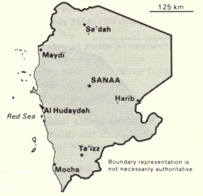
| current | 05:38, 8 February 2010 | | 666 × 644 (424 KB) | Hoshie | == Summary == {{Information |Description={{en|Map of {{w|Yemen Arab Republic|North Yemen}} from the 1990 {{w|CIA World Factbook}}.}} |Source=[http://www.archive.org/stream/worldfactbook90natiilli#page/340/mode/2up scan at the Internet Archive] |Date=1990 |
File usage
The following pages on the English Wikipedia use this file (pages on other projects are not listed):
Global file usage
The following other wikis use this file:
- Usage on ca.wikipedia.org
- Usage on es.wikipedia.org
- Usage on ja.wikipedia.org
- Usage on mt.wikipedia.org
- Usage on ru.wikipedia.org
- Usage on sr.wikipedia.org
- Usage on uk.wikipedia.org