File:Timgad Trajan.jpg
Size of this preview: 800 × 600 pixels. Other resolutions: 320 × 240 pixels | 640 × 480 pixels | 1,024 × 768 pixels | 1,280 × 960 pixels.
Original file (1,280 × 960 pixels, file size: 210 KB, MIME type: image/jpeg)
This is a file from the Wikimedia Commons and may be used by other projects. Information from its description page there is shown below.
Commons is a freely licensed media file repository. |
Summary
| Description |
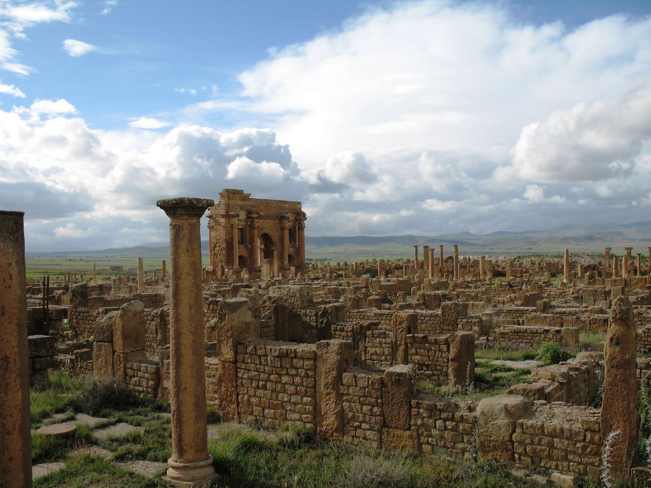
Français : Ruines romaines de Timgad (Wilaya de Batna, Algérie). Vue sur l'Arc de Trajan. |
| Date | |
| Source | originally posted to Flickr as IMG_0882 |
| Author | PhR61 |
| Object location | | View this and other nearby images on: OpenStreetMap |
|---|
Licensing
This file is licensed under the Creative Commons Attribution 2.0 Generic license.
- You are free:
- to share – to copy, distribute and transmit the work
- to remix – to adapt the work
- Under the following conditions:
- attribution – You must give appropriate credit, provide a link to the license, and indicate if changes were made. You may do so in any reasonable manner, but not in any way that suggests the licensor endorses you or your use.
| This image was originally posted to Flickr by PhR61 at https://www.flickr.com/photos/20013462@N05/2105758202. It was reviewed on 22 July 2008 by FlickreviewR and was confirmed to be licensed under the terms of the cc-by-2.0. |

|
This image was uploaded as part of Wiki Loves Monuments 2013.
|
 |
File history
Click on a date/time to view the file as it appeared at that time.
| Date/Time | Thumbnail | Dimensions | User | Comment | |
|---|---|---|---|---|---|
| current | 11:36, 22 July 2008 | | 1,280 × 960 (210 KB) | Masen | == Description == {{Information |Description={{fr|1=Ruines romaines de Timgad (Wilaya de Batna, Algérie). Vue sur l'Arc de Trajan.}} |Source=originally posted to '''Flickr''' as [http://www.flickr.com/photos/phr61/2105758202/ IMG_0882] |Aut |
File usage
The following 3 pages use this file:
Global file usage
The following other wikis use this file:
- Usage on ar.wikipedia.org
- Usage on ary.wikipedia.org
- Usage on arz.wikipedia.org
- Usage on az.wikipedia.org
- Usage on be.wikipedia.org
- Usage on bg.wikipedia.org
- Usage on ca.wikipedia.org
- Usage on el.wikipedia.org
- Usage on en.wikipedia.org
- Usage on es.wikipedia.org
- Usage on es.wikivoyage.org
- Usage on eu.wikipedia.org
- Usage on fa.wikipedia.org
- Usage on fi.wikipedia.org
- Usage on fr.wikipedia.org
- Berbères
- Liste du patrimoine mondial en Afrique
- Portail:Algérie
- Histoire des Aurès
- Tourisme en Algérie
- Portail:Algérie/saviez-vous que
- Portail:Algérie/Sélection d'images
- Portail:Patrimoine mondial/Image/24
- Portail:Patrimoine mondial/Arrêt sur image
- Portail:Batna/Histoire
- 6e session du Comité du patrimoine mondial
- Liste du patrimoine mondial en Algérie
- Portail:Algérie/Sélection d'images/25
- Usage on fr.wikivoyage.org
- Usage on ga.wikipedia.org
- Usage on hr.wikipedia.org
- Usage on hy.wikipedia.org
- Usage on id.wikipedia.org
- Usage on it.wikipedia.org
- Usage on it.wikivoyage.org
View more global usage of this file.