
File:FlagsMapAfrica.png
Size of this preview: 505 × 599 pixels. Other resolutions: 202 × 240 pixels | 405 × 480 pixels | 648 × 768 pixels | 863 × 1,024 pixels | 1,727 × 2,048 pixels.
Original file (1,727 × 2,048 pixels, file size: 473 KB, MIME type: image/png)
| This is a file from the Wikimedia Commons. Information from its description page there is shown below. Commons is a freely licensed media file repository. You can help. |
Summary
| Description |
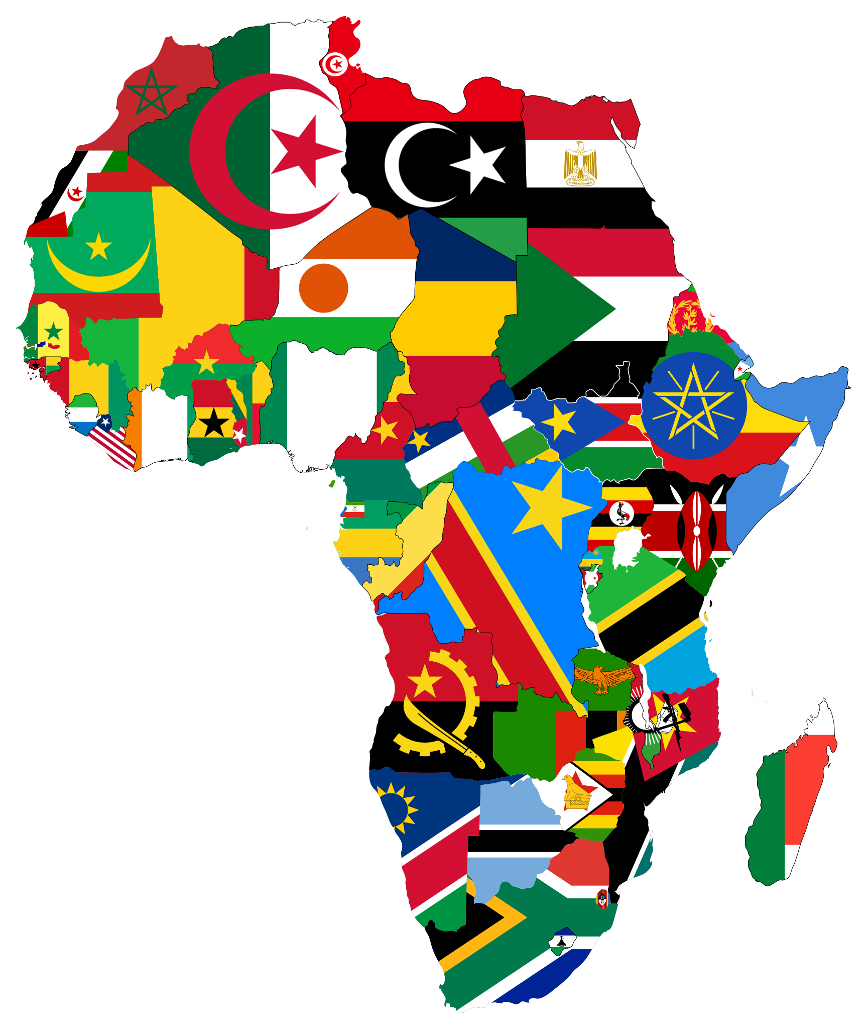
English: List of african countries |
| Date | |
| Source | Own work |
| Author | AMODDO |
Licensing
I, the copyright holder of this work, hereby publish it under the following license:
This file is licensed under the Creative Commons Attribution-Share Alike 4.0 International license.
- You are free:
- to share – to copy, distribute and transmit the work
- to remix – to adapt the work
- Under the following conditions:
- attribution – You must give appropriate credit, provide a link to the license, and indicate if changes were made. You may do so in any reasonable manner, but not in any way that suggests the licensor endorses you or your use.
- share alike – If you remix, transform, or build upon the material, you must distribute your contributions under the same or compatible license as the original.
File history
Click on a date/time to view the file as it appeared at that time.
| Date/Time | Thumbnail | Dimensions | User | Comment | |
|---|---|---|---|---|---|
| current | 16:41, 6 July 2023 | | 1,727 × 2,048 (473 KB) | Taki2006 | . |
| 10:36, 11 October 2014 |  | 543 × 644 (108 KB) | AMODDO | User created page with UploadWizard |
File usage
More than 100 pages use this file. The following list shows the first 100 pages that use this file only. A full list is available.
- Abia State University
- Abubakar Tafawa Balewa University
- Addis Ababa University
- Africa University
- Agostinho Neto University
- Ain Shams University
- Al-Azhar University
- Al-Hikmah University
- Al Zawiya University
- Alexandria Higher Institute of Engineering and Technology
- Alexandria University
- Algiers 1 University
- All Nations University
- American University in Cairo
- Ashesi University
- Association of African Universities
- Babcock University
- Bayero University Kano
- Benha University
- Bindura University of Science Education
- Bowen University
- Cairo University
- Cape Peninsula University of Technology
- Central University (Ghana)
- Central University of Technology, Free State
- Cuttington University
- Ebonyi State University
- Eduardo Mondlane University
- Egerton University
- Federal University of Agriculture, Abeokuta
- George Grant University of Mines and Technology
- Haramaya University
- Hawassa University
- Helwan University
- International Centre of Insect Physiology and Ecology
- Jean Piaget University of Cape Verde
- Jimma University
- Kenyatta University
- Kogi State University
- Kwame Nkrumah University of Science and Technology
- Maseno University
- Mekelle University
- Michael Okpara University of Agriculture
- Midlands State University
- Moi University
- National University of Lesotho
- National University of Rwanda
- Nelson Mandela University
- Njala University
- Nnamdi Azikiwe University
- Omdurman Ahlia University
- Pharos University in Alexandria
- Regional Maritime University
- Rhodes University
- Rivers State University
- Stellenbosch University
- Strathmore University
- Sudan University of Science and Technology
- Tanta University
- The British University in Egypt
- Uganda Christian University
- Uganda Martyrs University
- University for Development Studies
- University of Abuja
- University of Agriculture, Makurdi
- University of Asmara
- University of Bangui
- University of Benin (Nigeria)
- University of Botswana
- University of Burundi
- University of Calabar
- University of Cape Coast
- University of Cape Town
- University of Dar es Salaam
- University of Education, Winneba
- University of Eswatini
- University of Fort Hare
- University of Ghana
- University of Ibadan
- University of Johannesburg
- University of Juba
- University of Kinshasa
- University of KwaZulu-Natal
- University of Lagos
- University of Lubumbashi
- University of Malawi
- University of N'Djamena
- University of Nairobi
- University of Namibia
- University of Nouakchott Al Aasriya
- University of Ouagadougou
- University of Sierra Leone
- University of Technology, Mauritius
- University of Tripoli
- University of Uyo
- University of Zambia
- University of Zimbabwe
- University of al-Qarawiyyin
- Valley View University
- Walter Sisulu University
View more links to this file.
Global file usage
The following other wikis use this file:
- Usage on ar.wikipedia.org
- ويكيبيديا:بوابة اليوم المختارة/مارس 2017
- قالب:بوابة اليوم المختارة/2017-03-13
- ويكيبيديا:بوابة اليوم المختارة/ديسمبر 2018
- قالب:بوابة اليوم المختارة/2018-12-10
- ويكيبيديا:بوابة اليوم المختارة/أبريل 2019
- قالب:بوابة اليوم المختارة/2019-04-19
- ويكيبيديا:بوابة اليوم المختارة/أغسطس 2019
- قالب:بوابة اليوم المختارة/2019-08-30
- ويكيبيديا:بوابة اليوم المختارة/يناير 2020
- قالب:بوابة اليوم المختارة/2020-01-03
- ويكيبيديا:بوابة اليوم المختارة/مايو 2020
- قالب:بوابة اليوم المختارة/2020-05-05
- ويكيبيديا:بوابة اليوم المختارة/أغسطس 2020
- قالب:بوابة اليوم المختارة/2020-08-29
- ويكيبيديا:بوابة اليوم المختارة/ديسمبر 2020
- قالب:بوابة اليوم المختارة/2020-12-28
- ويكيبيديا:بوابة اليوم المختارة/مايو 2021
- قالب:بوابة اليوم المختارة/2021-05-04
- قائمة الدول الإفريقية حسب عدد السكان
- ويكيبيديا:بوابة اليوم المختارة/سبتمبر 2021
- قالب:بوابة اليوم المختارة/2021-09-07
- ويكيبيديا:بوابة اليوم المختارة/يناير 2022
- قالب:بوابة اليوم المختارة/2022-01-11
- ويكيبيديا:بوابة اليوم المختارة/مايو 2022
- قالب:بوابة اليوم المختارة/2022-05-19
- ويكيبيديا:بوابة اليوم المختارة/سبتمبر 2022
- قالب:بوابة اليوم المختارة/2022-09-24
- ويكيبيديا:بوابة اليوم المختارة/يناير 2023
- قالب:بوابة اليوم المختارة/2023-01-29
- ويكيبيديا:بوابة اليوم المختارة/يونيو 2023
- قالب:بوابة اليوم المختارة/2023-06-07
- ويكيبيديا:بوابة اليوم المختارة/أكتوبر 2023
- قالب:بوابة اليوم المختارة/2023-10-15
- ويكيبيديا:بوابة اليوم المختارة/فبراير 2024
- قالب:بوابة اليوم المختارة/2024-02-21
- Usage on ca.wikipedia.org
- Front Polisario
- Història de Gàmbia
- Per Gàmbia la nostra Pàtria
- Namibia, Land of the Brave
- Forces Armades d'Espanya
- Eleccions a Namíbia
- Himne Nacional de Kenya
- La Nigérienne
- Història d'Egipte
- Geografia del Níger
- Koste Seselwa
- Geografia de les Seychelles
- Política de Kenya
- Història de Kenya
- Cultura de Kenya
View more global usage of this file.