Heat, winds and low humidity mean fire risk in Southern California this week
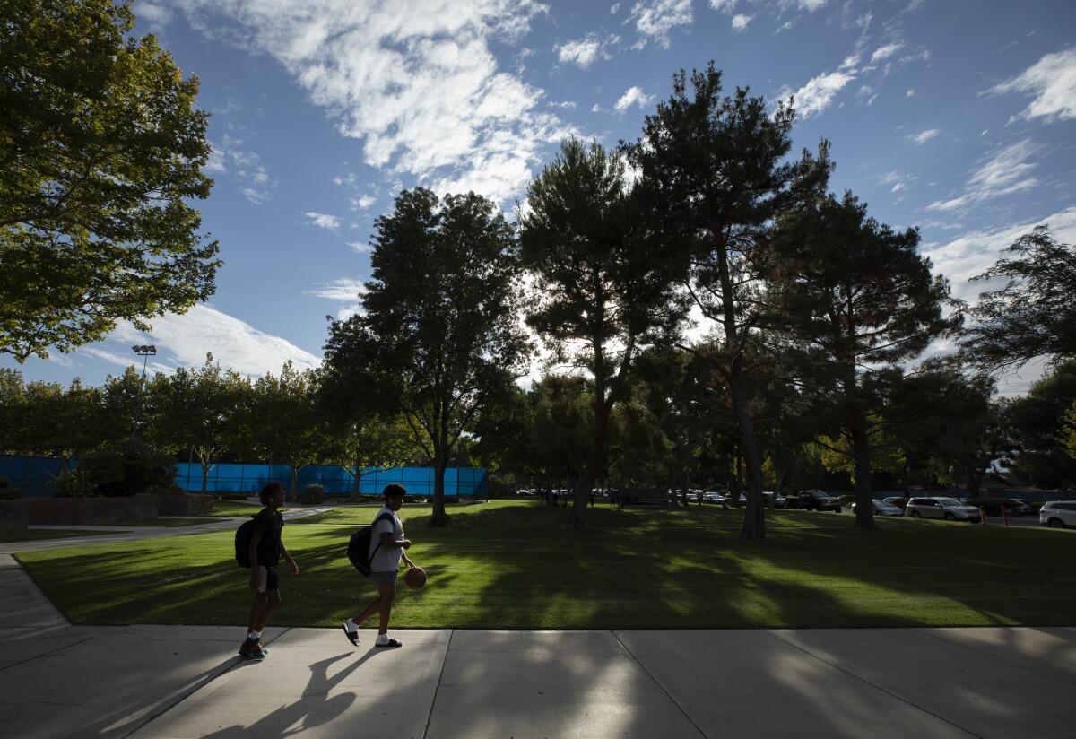
A familiar late-summer cocktail of high temperatures, gusty winds and low humidity will create hazardous conditions this week, prompting the National Weather Service to caution about elevated fire risk for the Southland’s valleys, mountains and deserts.
With a meager to nonexistent marine layer putting little moisture in the air, the sun will be shining hot on Southern California this week.
Temperatures are expected to reach triple digits in lower mountain ranges and valleys — five to 10 degrees hotter than usual, the weather service reported. Some of the worst of the heat will be in the Antelope Valley and southern Santa Barbara County, where temperatures are likely to hover between 95 and 105 degrees, according to the weather service.
“Basically we have an area of high pressure sitting over Southern California that, combined with [the] local wind pattern, are preventing the marine layer and sea breeze from providing much relief,” weather service meteorologist David Sweet said.
The weather service anticipates the Antelope Valley will be under an excessive heat watch through Tuesday, which is expected to be the hottest day of the week. The Santa Clarita and San Fernando valleys are under a heat advisory until 8 p.m. Tuesday, Sweet said.
Excessive heat warnings were also issued for the Coachella Valley and Banning Pass, which will be in effect through Wednesday night.
Temperatures were expected to range from 114 to 120 in the Coachella Valley through Wednesday evening, and remain between 85 and 90 overnight.
Banning Pass residents can expect temperatures of 105 to 115 beginning Tuesday and into Wednesday evening, forecasters said.
The region will see little relief overnight as relative humidity will not climb above 15%. Wind gusts of 20 to 35 mph sweeping across the Southland in the afternoons and at night will further dry out the topography.
People are advised to drink plenty of fluids, stay in an air-conditioned place whenever possible, avoid the sun and check on relatives and neighbors.
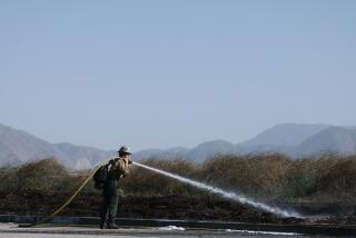
The fear in such heat, as always, is that a discarded cigarette or stray spark will ignite dried-out brush, and winds will quickly fan the flames into a wildfire like the Hungry fire, which ignited in northern Los Angeles County on Saturday. That fire spread to 340 acres, but county fire crews had it 55% contained as of Sunday night.
The worst of the weather will probably taper off Wednesday. After that, Sweet said, expect “gradual cooling through the end of the week and then better cooling over the weekend as our natural air conditioner comes back — marine layer and sea breeze.”
City News Service contributed to this report.
More to Read
Start your day right
Sign up for Essential California for news, features and recommendations from the L.A. Times and beyond in your inbox six days a week.
You may occasionally receive promotional content from the Los Angeles Times.
